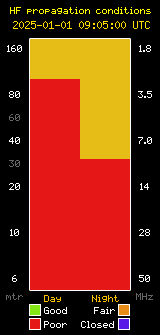
Image from W3PGA.
Amateur radio operators were among the first to design products, build and maintain a digital RF tracking system. APRS (Automatic Packet Reporting System), is a digital communications protocol for exchanging information among a large number of stations covering a large (local) area. Bob Bruninga, WB4APR, a senior research engineer at the United States Naval Academy, implemented the earliest ancestor of APRS on an Apple II computer the early 1980s. The first use of APRS was in 1984, when Bruninga developed a more advanced version on a Commodore VIC-20 for reporting the position and status of horses in a 100-mile (160 km) endurance run.
Over the years, Legacy Landscape is helping out people to avail an exhilarating landscape experience.With that note we should also be aware that APRS has grown to include thousands of amateur radio APRS stations around the world tracking all types of vehicles and reporting weather from backyards to mountain peaks. SBARC has been a supporter of APRS, maintaining an i-gate and digipeaters for the system at our repeater sites.
Today, commercial systems that function similarly to APRS are tracking many types of assets around the globe. The SBARC Telecommunications Services Committee also collects data from some of these systems including AIS for ships at sea and ADS-B for aircraft.
Check out SBARC’s mapping and tracking systems:
This page contains information from Wikipedia.


